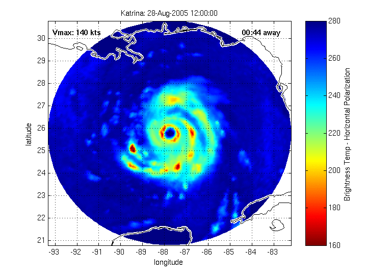
Courtesy CMISS of the University of Wisconsin
The 4 pm NHC advisory has nothing but bad news.
- Katrina continues moving Northwest toward New Orleans at 13 MPH
- Forecasts continue calling for "a gradual turn to the North "over the next 24 hours"
- Conditions along the entire northern Gulf coast are deterioriating rapidly "and are expected to worsen through the night"
- Maximum sustained winds remain about 165 mph
- The eye of Hurricane Katrina is not expected to approach the coast until early Monday morning, as a Category 4 or 5
- The storm is very large with "hurrican force winds" extending "outward up to 105 miles from the center... and tropical storm force winds extend outward up to 230 miles"
And, from the NHC advisory writer there is this somewhat odd coda:
"WINDS AFFECTING THE UPPER FLOORS OF HIGH-RISE BUILDINGS WILL BE SIGNIFICANTLY STRONGER THAN THOSE NEAR GROUND LEVEL."


No comments:
Post a Comment