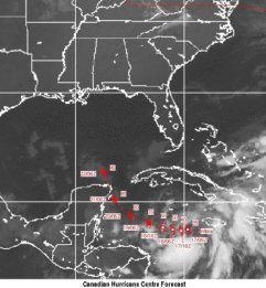
Canadian Hurricane Forecast Centre
The National Hurricane Center has dipped into its seasonal Storm Name Bag and pulled out the last one: Wilma.
This makes 21 Atlantic basin storms for 2005, tying the modern-day record set in 1933. There will be no medals awarded.
Wilma presently is near the Cayman Islands, drifting "south or southwest," the NHC says. Although forecast models differ greatly, the National Hurricane Center expects Wilma to turn north in the next few days, gather strength to hurricane status, and enter the southern Gulf of Mexico late this week.
After that, it's anyone's guess what comes next. Except for storm names. If there's to be another one, it will be called "Alpha."
The St. Petersburg Times found a couple of hurricane experts who explain more coherently than the NHC's web site what to expect with Wilma -- and why we can't yet know for certain where the storm ultimate will make landfall:
Hurricane specialist Stacy Stewart said Wilma had shifted west of its previous path and could hit Mexico's Yucatan Peninsula. "At this time it doesn't appear it will be a major threat to the United States during the next five days," Stewart said.
But Wilma is then expected to re-emerge into the Gulf and could become a threat to the Southern U.S.
"Usually when a storm gets into the Gulf, it's going to hit somewhere. Where, that's too early to tell right now. Some models take it west, some take it north," said Larry Lahiff, a meteorologist at the hurricane center.


No comments:
Post a Comment